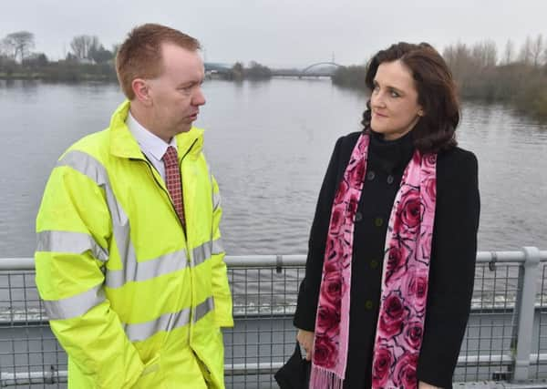
Dublin stance on Foyle border accepted by Rivers Agency for flood purposes


David Porter, Chief Executive of the Rivers Agency, indicated such realpolitik is essential to ensure adequate cross-border flood prevention planning with the Office of Public Works in Donegal on a day to day basis despite it running contrary to the de jure position as far as Whitehall is concerned.
The Foreign and Commonwealth Office (FCO) has consistently underlined its view that all of Lough Foyle is British, and this is backed up by the fact that the Royal Charter of 1613 established that the County boundary extends right up to the high water mark on the Donegal side up to the town of Lifford.
Advertisement
Hide AdAdvertisement
Hide AdBut Mr Porter told the Stormont Infrastructure Committee that the Department has to accept Dublin’s view that the border runs right up the middle of the Lough and River because in reality it’s the Republic of Ireland authorities who help deal with coastal erosion and flood plain management, along the west bank of the Foyle.
“If we want to take forward works in, for instance, Strabane, we should be talking to our colleagues in Lifford to make sure that what we are doing, whether it is an approval or physical works, does not have a detrimental effect for our colleagues in OPW in the South,” said Mr Porter.
“I can give one very good example through the floods directive of where that really worked. We met at a very early stage and identified that the border runs down the middle of the River Foyle,” he revealed.
Mr Porter said the practical effect of co-operation was that you didn’t have anomalous flooding predictions for either side of the same body of water.
Advertisement
Hide AdAdvertisement
Hide Ad“There was no point in OPW and us going to the expense of building a river model for the main spine of the Foyle.
“It was therefore determined that Rivers Agency would construct that main model for the Foyle and that that would then be the model from which other models for the tributaries would be built. “We shared our model with OPW, which used it to build its model to determine where the floodplain was in the South.
“We then used exactly the same model to determine where the floodplain was in the area for which we were responsible. We did not want a ridiculous situation in which you could look at a flood map that would give you a level on one side of the river as the Q100 and a different level on the other,” he explained.