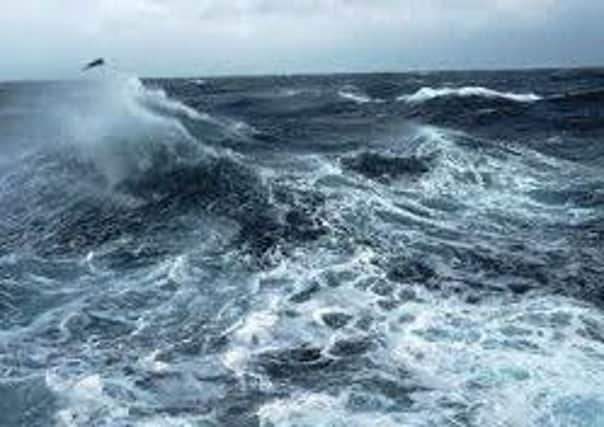
Jonas to soak and batter Londonderry


Meteorologists at the Met Office and Met Éireann are both predicting heavy rainfall.
A spokesperson for the Met Office said: “Another area of heavy rain is expected to move northeast across parts of Northern Ireland and Scotland during Wednesday morning.
Advertisement
Hide AdAdvertisement
Hide Ad“The rain may also be accompanied by gales or even severe gales briefly later on Wednesday morning, as it clears eastwards. Snow could also affect the Grampians and Northwest Highlands.
“Please be aware of the potential for difficult travelling conditions on Wednesday morning, mainly from surface water on roads.
“A deepening area of low pressure will cross the northern half of the UK during Wednesday morning bringing a further period of heavy rain. Depending on how quickly the depression deepens, there is also potential for severe gale force winds to occur on the southern and western flanks of the low as it moves through. In addition, as the system runs into colder air over Scotland there is the potential for some snow, mainly affecting higher ground of the north.
“There is uncertainty over where the heaviest rain or strongest winds will occur, as well as the extent of any snow, therefore this alert will be updated closer to the time.”
Advertisement
Hide AdAdvertisement
Hide AdA Met Éireann spokesperson said: “Heavy rain will spread to many parts on Tuesday night and it will become very windy again with strong to gale force and gusty southwest winds, veering northwest later. It will stay rather mild overnight.
“The last of the rain will clear early on Wednesday and it will turn colder with sunshine and showers, some wintry in the north on high ground. Afternoon temperatures will only be between 4 and 7 degrees and it will feel colder in fresh westerly winds.
“On Wednesday night showers will continue in Atlantic coastal regions. Elsewhere it will become dry with clear spells and a slight frost.
“Thursday will start mainly dry, but wet and rather windy weather is set to develop from the west during the day. Thursday night is looking mild again with no frost but with further outbreaks of rain.
“The unsettled weather will continue on Friday and during the weekend with episodes of mild, wet and windy weather, interspersed with colder, brighter and showery weather.”