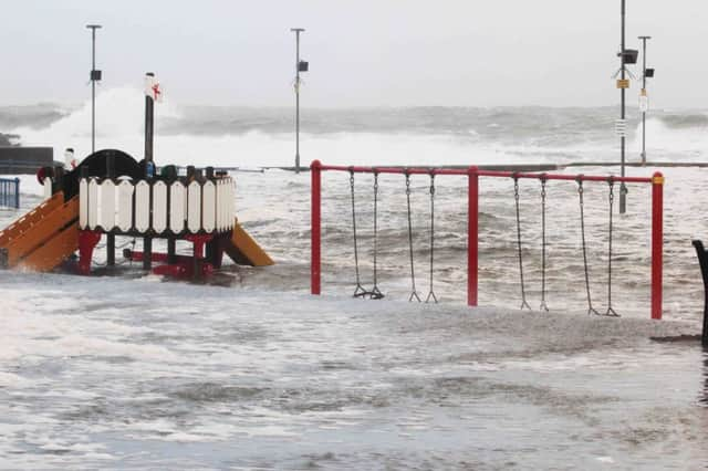
Slideshow:‘Weatherbomb’ batters north coast


Portrush and Portstewart - as you can see from our photo gallery - felt the full force of the 80mph winds last night and this morning - with experts warning there’s more to come.
The Met Office has issued a amber wind warning – only one below its most serious – with coastal parts of counties Londonderry and Antrim expected to suffer the worst.
Advertisement
Hide AdAdvertisement
Hide AdGusts of 60-70 mph are be expected within the warning area, with 70-80 mph in western and northwestern areas.


The strongest winds will slowly ease on Thursday morning.
The process behind the storm, rapid cyclogenesis, known colloquially as a “weather bomb”, is a deep low pressure system moving slowly eastwards between Scotland and Iceland.
Send us your pictures and videos - tweet us @Coleraine_Times, get in touch via Facebook or email [email protected]