
Northern Ireland: The odds on Belfast having a ‘white Christmas’ - see the Met Office UK long-range forecast
A Met Office video explains what a 'white Christmas' is, as the latest odds on snow falling on Christmas Day are revealed.
OLBG (Online Betting Guide) have shared the odds on snow falling in different parts of the UK on Christmas Day.
Edinburgh Airport currently leads the market as the most likely location for a festive flurry this year, with 5/4 odds (44.4%) of snow falling on Christmas Day. Newcastle is the next most likely, with 2/1 odds (33.3%) of snow falling on Christmas Day. Belfast is the third most likely to see snow on Christmas Day, with 3/1 odds (25.0%).
Snow on Christmas Day 2025 odds - full list
Edinburgh (Airport) 5/4 (44.4%)
Newcastle (Airport) 2/1 (33.3%)
Belfast (Airport) 3/1 (25.0%)
Liverpool (Airport) (5/1) (16.7%)
Dublin (Airport) 6/1 (14.3%)
Manchester (Airport) 6/1 (14.3%)
Birmingham (Airport) 7/1 (12.5%)
Cardiff (Airport) 7/1 (12.5%)
London (London City Airport) 10/1 (9.1%)
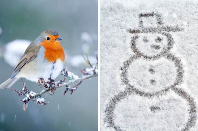

What is a 'white Christmas'?
For the Met Office to declare a ‘white Christmas’, a single snowflake has to be observed falling in the 24 hours of December 25, by either an official Met Office observer or by a Met Office automated weather station.
When was the last ‘white Christmas’?
According to the Met Office, 2023 was technically the last ‘white Christmas’ in the UK with 11% of stations recording snow falling, however none reported snow lying on the ground.
2010 was the last widespread ‘white Christmas’ in the UK, with snow on the ground at 83% of stations, but snow or sleet also fell at 19% of stations. 2009 was also a ‘white Christmas’, with 13% of stations recording snow or sleet falling, and 57% reporting snow lying on the ground.
How likely is a ‘white Christmas'?
The Met Office says that since 1960 around half of the years have seen at least 5% of the network record snow falling on Christmas Day - meaning we can probably expect more than half of all Christmas Days to be a 'white Christmas'.
However, there has only been a widespread covering of snow on the ground (where more than 40% of stations in the UK reported snow on the ground at 9am) four times since 1960 - in 1981, 1995, 2009 and 2010.
When will we know if we'll have a ‘white Christmas’?
It is too early to know if we’ll have a ‘white Christmas’ this year. The Met Office say they can accurately forecast if snow is likely on any given Christmas Day up to five days beforehand.
Met Office UK long-range forecast
Thursday December 4 to Saturday December 13
Changeable and often unsettled conditions are expected to affect the UK during this period. The most likely weather pattern is one of successive areas of low pressure moving in from the west or southwest and then tending to become rather slow-moving in the vicinity of the UK. This means a story of showers or longer spells of rain, with almost anywhere seeing some heavy rainfall at times, but the greatest chance of wetter than normal conditions will be in the west. Any snowfall is most likely over higher ground in the north. Strong winds are also a possibility from time to time, again perhaps more likely in western areas. Given the changeable pattern originating from the Atlantic, temperatures will most likely be close to or a little above normal.
Saturday December 13 to Saturday December 27
A broad continuation of the weather patterns experienced in early December is the most likely scenario through this period. This means low pressure is likely to carry on dominating the UK's weather, especially through the middle part of December. Further spells of rain, interspersed by clear, showery interludes, along with some windy conditions at times; again the wettest conditions are more likely to be in the west. Later in December, there are still hints of something a little less unsettled developing, though long-lived dry spells look unlikely. Temperatures remaining close to or perhaps a little above average overall.