
Easter weather: Date 40mph winds forecast to hit Northern Ireland during bank holiday weekend
Watch the Met Office forecast for Easter bank holiday weekend, as more unsettled weather is on the way.
The Met Office is forecasting wet and windy weather for Northern Ireland during the Easter weekend, with low pressure likely to dominate.
Steven Keates, Met Office Deputy Chief Meteorologist, said: “As we head into Good Friday and Easter Saturday, the weather is expected to turn more unsettled, with spells of rain at times, some of which could be heavy. This will be followed by sunny spells and showers, with the driest conditions likely towards the southeast of the UK.
“It is also likely to become windy at times across all areas, particularly in exposed north-western locations. While there remains some uncertainty in the detail at this point in time, there is a strong signal for wet and windy conditions to continue into the Easter Weekend.”
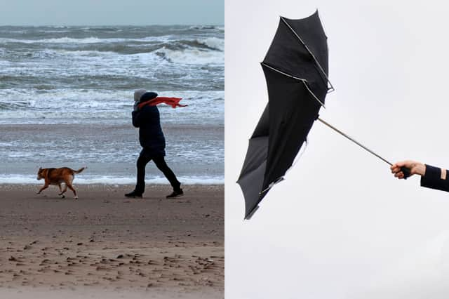

On Good Friday (3 April), light rain is forecast for Northern Ireland, with up to 41mph wind gusts predicted - high temperature 13°C, low temperature 3°C.
Light rain is also forecast for Saturday (April 4), with gusts of up 32mph expected - high temperature 10°C, low temperature 1°C.
Easter Sunday (April 5) is forecast to see a mix of cloudy weather and light showers, with gusts of up to 38mph predicted - high temperature 10°C, low temperature 2°C.
The Met Office has not yet published a daily forecast for Easter Monday.
Met Office UK long-range weather forecast
It is increasingly likely that unsettled conditions will affect the UK over the Easter Holiday weekend, with the potential for strong winds and heavy rain at times. The wettest and windiest weather is more likely towards the west and north of the country.
Beyond Easter, a broad northwest-southeast split is most likely, though the extent of high pressure into southern areas is unclear. That said, northern and western parts are more likely to remain rather unsettled overall, with further spells of wind and rain, and areas further southeast should see the best of the drier, clearer interludes. Temperatures probably fairly close to average overall, but occasional warmer spells are possible in the south.