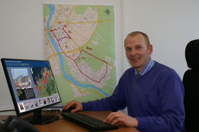
Council worker wins top award for North West 200 Map project


The competition, ‘Maps Make Sense for Croatia’ asked entrants to tell a story using web maps and make their story interesting, engaging and compelling. Nial’s design, entitled ‘Welcome to the Official North West 200 Mapping Tour’, featured a story map of the International North West 200. Commenting on his achievement and the theory behind his design Nial said, ‘I designed a map which could give users the ability to experience something real.
“Portstewart is home to the great North West 200 and in designing the optimal interactive map I tried to design something that would be useful and of interest to those who attend the race each year. The map tells a story from the start to the end of the race, with videos and images depicting experiences from each of the race days.
‘I’d like to thank Council for the support and opportunity to work on the project and thank Esri Ireland and also the University of Ulster and placement MSc student Sean O Doherty for his work.”