
Causeway Coast & Glens Borough’s conflict and maritime history explored in new digital Story Map
Causeway Coast and Glens Council has launched a new Heritage, Conflict and Maritime Sites Story Map, a digital resource to commemorate those who lost their lives in conflict on land, in the air and at sea.
At the centre of the Story Map is an interactive War Graves Dashboard which provides the locations and service details of identified war graves across the Borough.
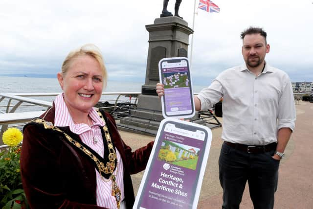

The dashboard commemorates military personnel who died while serving in the First and Second World Wars, as well as in subsequent conflicts, creating an accessible and meaningful record of remembrance.
Designed as a living resource, the platform will continue to grow as additional sites and historical information are identified and verified. By bringing together places, stories and service records in a single digital experience, Causeway Coast and Glens Council is seekimg to preserve and share the legacy of those who served, ensuring their contribution and sacrifice remain accessible to future generations.
The Story Map also brings together a wide range of heritage assets, including former RAF Stations – documenting the Borough’s significant aviation history and its strategic role during wartime; Maritime Conflict and Shipwrecks – highlighting the waters off Northern Ireland’s north coast, which preserve a diverse and often poignant record of maritime loss from both World Wars; Memorials, Graves and Commemorations – enabling users to explore war memorials, cenotaphs, and individual graves located throughout the Causeway Coast and Glens area.
From prominent monuments within town centres to individual graves in local churchyards, these sites collectively tell the story of sacrifice and service, honouring both military personnel and civilians whose lives were impacted by conflict.
The Story Map has been designed to be accessible to residents, researchers, schools, and visitors alike. By combining geographic mapping with historical insights, it provides a valuable educational tool while encouraging reflection on the lasting impact of conflict within local communities.
As a dynamic and evolving resource, Council welcomes contributions and further information from the community to help enhance and expand the dataset over time.
The Heritage, Conflict and Maritime Sites Story Map, including the War Graves Dashboard, is now available online https://tinyurl.com/38f7sb6j: